Water quality
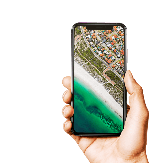
Protect biodiversity with our AI mapping model: optimized environmental monitoring and natural heritage management
Protect biodiversity with our AI mapping model: optimized environmental monitoring and natural heritage management
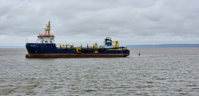
We have developed a new solution to help purchasers and maritime work operators manage water quality issues and the impact of dredging and dumping activities on marine environments.
Satellite technology is the ideal complement to traditional water quality environmental monitoring tools, bringing added value at every stage of the project:
• upstream, during impact assessment, consolidating the initial turbidity status,
• before work begins, supporting the roll-out strategy for in situ measurement sensors,
• during work, anticipating active turbidity conditions in the work zone and its surroundings, enabling both better environmental steering and optimization of operations.
The focus is above all on the operations of port stakeholders and marine renewable energy project developers, within the context of increasingly strict regulations that make securing environmental aspects vital for gaining approval from environmental authorities and populations. It is also essential for communications, with the use of new technology confirming leadership in the maritime industry’s environmental transition (quality certification Smart Port campaigns, etc.).
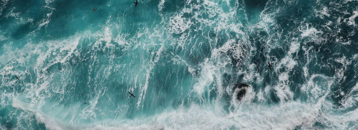
Our service is based entirely on open data satellite data. It draws on the assets offered by the Sentinel-2/3 archive from the Copernicus programme and extracts its core information using artificial intelligence.
Using satellite archives, it is possible to create a historic database of various water quality parameters (turbidity, concentration of suspended solids, chlorophyll a, etc.) with a temporal depth of up to 20 years.
Run together with climate forcing and hydrological parameters (primarily wind, waves, tides, and river flow), it becomes possible to characterize an initial state, i.e., climates of turbidity and phytoplankton activity prevalent in coastal and shore areas, remotely, without the use of on-the-ground sensors.
This is a clear advantage for both maritime work operators and environmental and managing authorities in charge of protected marine areas, offering them access to a dense and free resource for developing knowledge of coastal hydro-sedimentary functioning and assessing natural biological dynamics, outside periods of work.
The satellite data used to build temporal archives from water quality parameters are provided by the Copernicus programme (Sentinel-2/3 since 2015) and NASA (MODIS, since 2002). These are downloaded, processed for SS/turbidity/chlorophyll products and analysed to extract medium and extreme climates of turbidity and phytoplankton activity (monthly, seasonal statistics, 95, 99 percentiles, etc.).
2018
Launch year
8
Number of productions
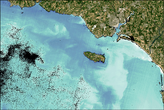
In 2018, Atlantic Port La Rochelle became the first port stakeholder in France to begin using this product. The port’s original motivation emerged from a need for a more detailed understanding of the complex hydro-sedimentary dynamics of the Charentais Strait and the outskirts of the port zone. The results obtained notably made it possible to map ambient noise from turbidity (a natural component of turbidity) and overlay sediment dispersion simulations at the discharge point (anthropic component), created using ACTIMAR modelling, for an overall assessment of total turbidity during works.
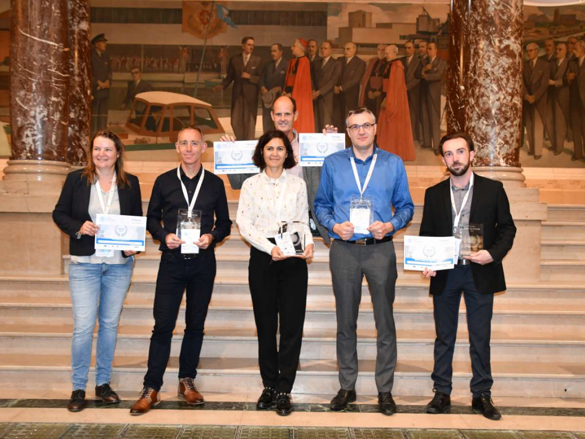
This first case study with the Port of La Rochelle was recognized by the French port community with the Digital Award at the 2018 Port du Futur Conference (Nicolas Ménard, PALR and Aurélie Dehouck, i-Sea in the photo opposite).
Deep Turbi is an innovative feature created by our R&D team for predicting natural turbidity levels on shores and coasts to improve the steering of water quality projects and manage turbidity during work in ports. The module, which is a sort of three-day turbidity forecast, provides real-time predictions. It is possible to choose the area of interest and select spots to add to a feed, essentially acting as “virtual” turbidity sensors in the area of work and its surroundings.
This removes the need to choose between which sites are monitored in situ. It is possible to employ a dual strategy, focusing the in-situ surveillance tool on the most at-risk sectors where water quality preservation stakes are the highest, and equipping all secondary sectors with the Deep Turbi tool.
Deep Turbi offers the ability to predict excess turbidity levels, improving predictions and enabling users to know when and where turbidity risks becoming excessive. It also makes it possible to optimize dredging schedules according to environmental constraints.
2020
Launch year
1
Number of productions
Deep Turbi was developed with the aid of the European Space Agency, with the support of ESA Business Applications funding (2019-2020). Région Occitanie was the first to trial the software, using it during expansion work on the Port-la-Nouvelle port, which underwent extensive dredging in winter 2020/2021.
The Deep Turbi module, plugged into the SINAY environmental data management platform, on behalf of Région Occitanie, helped bolster surveillance measures and anticipate alerts that could potentially interrupt work.
Benjamin Grente discusses the benefits of satellite technology and the Deep Turbi app in this interview.
Since 2021, i-Sea has been involved in the European Space Agency’s MedEOs programme (ESA Mediterranean Regional Initiative – coastal water quality section), alongside DEIMOS, Telespazio France, SUEZ Rivage Pro Tech and KartEco, among others. MedEOs’ mission is to develop new water-quality satellite products (turbidity, chlorophyll a, dissolved oxygen, eutrophication, toxic algae blooms) whose USPs are the ability to offer daily updates and high-spatial-resolution. The first year of activity enabled us to develop and trial methods for merging data applied to Sentinel-2/3 products and data, and to assess their accuracy in pilot sites in four Mediterranean regions (France, Spain, Tunisia, Egypt). The next step will be scale demonstrations in Mediterranean shore zones.
Explore our tailor-made solutions combining environmental expertise and advanced technologies to meet your specific challenges
Contact us