Marine traffic


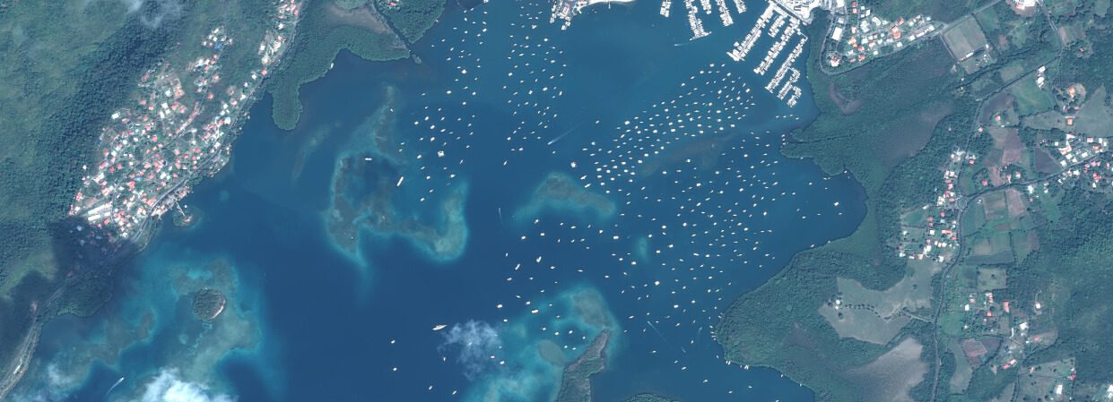
Of the various observation and surveillance systems available for marine traffic, aerial and satellite imaging offers a number of interesting benefits for observation and surveillance.

lthough the satellite data from the Copernicus programme (Sentinel-1/2) offers a certain level of detection, unfortunately it is not adapted to studying traffic rates for yachting activities, which require metric-resolution images.
Precisely discriminating between small crafts (<10 m)—which make up the majority of yachts—and differentiating between these based on their type and size (motorized/non-motorized, type of nautical activities practised, static or moving) offers stakeholders in the sailing industry and managers of protected marine areas the information they need.
2021
Launch year
4
Number of productions